
 |
 |
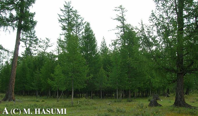
(A) A forest (Larix sp.) zone that was distributed along the Khodon gol (the word "gol" means "river" in Mongolian) in the northeastern area of the Darhadyn Wetland (photographed on 21 August 2005). The forest zone, having a 49.8 km distance from the first research area along the Shishkhid gol, was detected by the use of a satellite picture, photographed on 9 August 2001 from the Landsat, which was published from the Earth Science Data Interface (ESDI) at the Global Land Cover Facility.
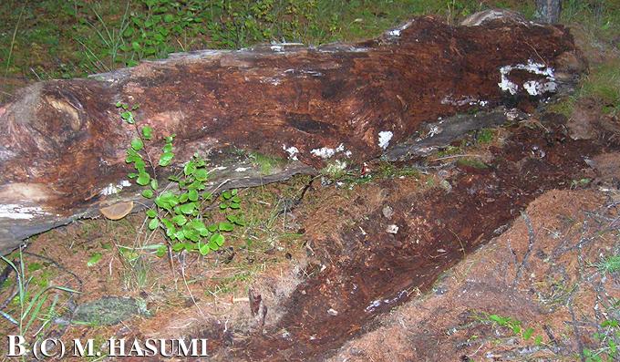
(B) A log (length = 3.0 m, diameter = 0.4 m), harboring a male S. keyserlingii, in the forest zone (photographed at 2021 h on 20 August 2005). A tip of an approximately 400 m-long running water with 20 or more backwaters was found at a 237 m distance from the log.