|
|
|
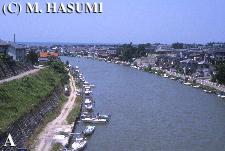
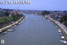
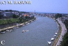
This river flows to the Sea of Japan through the Uchino district, Niigata-shi, Niigata Prefecture, Japan. The Shinkawa Fishing Port and the Shinkawa Estuary Drainage Plant are respectively at the right and left banks of the mouth of the Shin-kawa River. The Nagisa-bashi Bridge is located nearer the seaside than the Orai-bashi Bridge (Route 402 National Road).
I found a tadpole of the bullfrog Lithobates catesbeianus (formerly Rana catesbeiana) was swimming vertically to the surface of the water of the Shin-kawa River for respiration when I walked across the Orai-bashi Bridge early this summer (date, not recorded). A garden with the tree frog Zhangixalus arboreus (formerly Rhacophorus arboreus) has a 150-160 m distance from the edge of this river.
The Sin-kawa River is a drainage canal (called "Kinzo-zaka Horiwari"), which was dug out by the Nagaoka-han, one of counties in the Edo Age, from 1818-1820, to make new paddy fields by draining water from large and small lagoons that had scattered around riparian regions of the Nishi-kawa River.